- Data
- Videos
-
Publications & Research
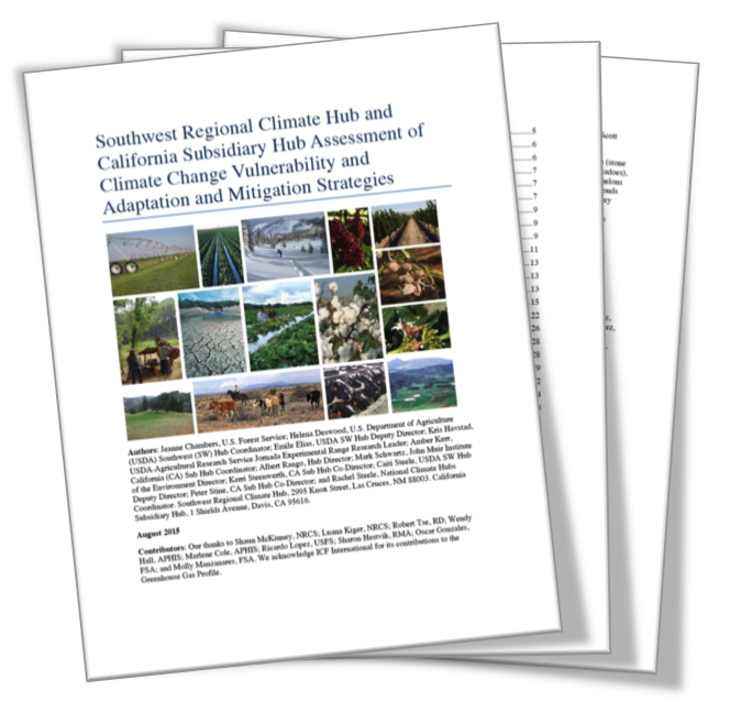
Southwest Regional Climate Hub and California Subsidiary Hub Assessment of Climate Change Vulnerability and Adaptation and Mitigation Strategies -
Education
- Water Conservation Data Jam - Curriculum for 6th-12th Grade Students
- Climate Change and Wildfire – Curriculum Unit for 9-12 Grade Students
- Climate Change and the Carbon Cycle – Curriculum Unit for 9-12 Grade Students
- Where's Our Water? Water Conservation in the Southwest - Lesson for 6-8 Grade Students
- Climate Change and the Water Cycle - 10-Hour Curriculum Unit for 6-12 Grade Students
- The Effects of Climate Change on Agricultural Systems - 5-Hour Curriculum Unit for 6-12 Grade Students
- Cambio climatico y el ciclo del agua
- Webinars and Online Courses
- Websites
- News & Events
- About Us
- RMA
Data
Monsoon season precipitation monitoring maps for Arizona (link is external) and New Mexico (link is external)
Drought
State of the Climate - monthly drought in the US reports, discussion, and more (NOAA, National Centers for Environmental Information)
Climate Monitoring, State of the Climate - a collection of monthly summaries recapping climate-related occurrences (NOAA)
US Drought Portal - where is the drought?
PRISM Climate Group - climate observations gathered from a wide range of monitoring networks, spatial climate datasets are developed to reveal short- and long-term climate patterns
National Climate Change Viewer (NCCV) - The NCCV allows the user to visualize projected changes in climate (maximum and minimum air temperature and precipitation) and the water balance (snow water equivalent, runoff, soil water storage and evaporative deficit) for any state, county and USGS Hydrologic Unit (USGS)
Online Data Access - from the Walnut Gulch Experimental Watershed in southeastern Arizona operated by the USDA ARS Southwest Watershed Research Center, Tucson, AZ
Crops
Major World Crop Areas and Climate Profiles (MWCACP) for North America - USDA
Crop Explorer - explore by crop and explore by region (USDA Foreign Agricultural Service)
Cropscape – Cropland Data Layer - spatial data layers (USDA National Agricultural Statistics Service)
Crop Weather - data links to crop weather conditions, drought central, current weather conditions and forecasts, and more (USDA Risk Management Agency)
Food resilience data - results from a search on http://data.gov
MLRA
NRCS Major Land Resource Area (MLRA) link to database and interactive map (USDA Natural Resources Conservation Service, Soils)
National Resources Inventory data and reports - A statistical survey of land use and natural resource conditions and trends on U.S. non-Federal lands (USDA Natural Resources Conservation Service)